Maritime Spatial Plan of the Polish Sea Areas in scale 1 : 200 000
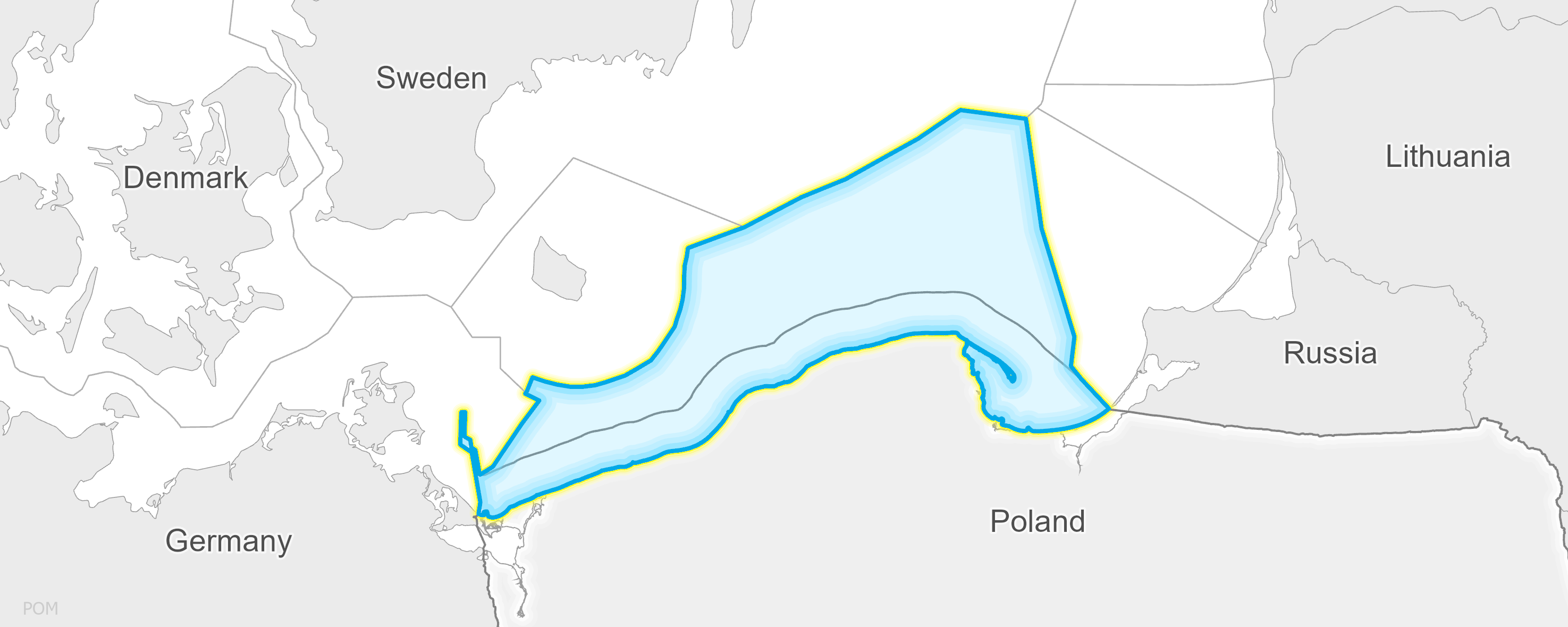
The Maritime Spatial Plan of the Polish Internal Sea Waters, Territorial Sea and Exclusive Economic Zone in Scale 1:200,000, has been prepared jointly by directors of Maritime Offices in Szczecin, Słupsk and Gdynia to ensure that the spatial development of the whole area covered by the Plan is consistent. The Plan covers all the internal sea waters, territorial sea, and exclusive economic zone within the jurisdiction of the Polish Maritime Administration, excluding port waters and three lagoons which, due to the scale of conflicts and intensity of land-sea influences, will be covered by separate plans in larger scale so that detailed issues can be included therein. The purpose of the Act is to establish a tool for spatial and functional coordination of actions, including without limitation those relating to sustainable implementation of undertakings within sea areas, i.e., to:
- ensure that their features, resources, and properties are effectively used for various social and economic purposes;
- reduce conflict between users and the surrounding environment;
- ensure resilience of non-recoverable resources and environmental processes in the perspective of the current and next generations.
The purpose of the Plan is to support sustainable development of sea areas, for example, by pointing out the areas and specifying how various modes of maritime spatial development could co-exist and be kept in spatial order. The draft plan contains decisions that determine the co-existence of various ways of using the sea areas without losing the possibility to execute tasks assigned to sectors considered as priority ones, according to the aforementioned legal acts and strategic documents specified hereinbelow, while ensuring safe use of each basin.